Cueva de las Manos is South America's most important rock-art ensemble and one of five UNESCO World Heritage sites in Argentina (since 1999), alongside the Jesuit Missions, Quebrada de Humahuaca, Los Glaciares National Park and Ischigualasto-Talampaya. Located in northwest Santa Cruz Province at 47°S latitude, at the foot of a 90-meter cliff above the Río Pinturas Canyon, it contains 829 stenciled hands (806 left, 23 right) and hunting scenes painted between 9,300 and 1,300 years ago by Tehuelche hunter-gatherers — the Tehuelche were the original people of continental Patagonia until European colonization — across three successive artistic stages: Group A (9,300-7,000 years before present, guanaco hunting scenes), Group B (7,000-2,500 BP, the stenciled hands using bone blow-pipe technique that became the site's international symbol) and Group C (2,500-1,300 BP, abstract geometric figures and zigzags). Mineral pigments — red hematite, black manganese oxide, ochre iron oxides, white calcium carbonate — are sharply preserved by the natural protection of the rock overhang, the arid Patagonian climate and the specific microclimate of the 24m long, 10m wide, 7m high cave. Cueva de las Manos Provincial Park, established in 1996 and managed by Santa Cruz province, has 600 hectares including a modern visitor portal with interpretation center, walkways with no contact with paintings, and the "At the foot of the hands" trail descending 90 meters to the canyon bottom past minor rock-art caves. The visit is mandatorily guided (1h30, included in entry) with groups of max 20 people. Access is from Los Antiguos (176 km) or Perito Moreno town (163 km), with the last 46 km on gravel road (Route 97) — passable in a regular car in summer but tricky after rain. Roughly 25,000 annual visitors — a fraction of the glacier traffic, ensuring a quiet, crowd-free experience — make it a mandatory stop on the full Route 40 Patagonian circuit.
Getting there — distances & times
| From | Distance | Drive |
|---|---|---|
| Los Antiguos | 176 km | 3 h (last stretch gravel) |
| Perito Moreno (town) | 163 km | 2 h 30 |
| Bajo Caracoles | 50 km | 45 min (gravel) |
| El Calafate | 1000 km | 12 h |
| El Chaltén | 745 km | 9 h |
| Comodoro Rivadavia | 540 km | 7 h |
| Bariloche | 1170 km | 14 h (full Route 40) |
Typical prices by category
| Item | Price |
|---|---|
| Park entry (foreigner) | USD 12 |
| Park entry (Argentine) | USD 6 |
| Cave guided visit (included) | Included in entry |
| "Al pie de las manos" trail with guide | USD 20 extra |
| Tour from Los Antiguos (full day) | USD 110-130 |
| Tour from Perito Moreno town | USD 85-110 |
| Private transfer (up to 4 pax) | USD 220-280 |
| Fuel from Los Antiguos round trip | ~USD 35 |
| Lunch at Cave Portal (if open) | USD 15-22 |
2026 rates. Road to the Park is gravel — plan with generous time margin.
The Story of the Hands — What You Are Seeing
The paintings group into three clearly distinct stylistic periods:
Group A (9,300-7,000 years before present)
Figurative guanaco hunting scenes. You see human figures surrounding guanaco herds, hunters with bolas (two stones tied by rope, thrown at the animal's legs to bring it down), wounded guanacos. Realistic style with anatomical detail. Red hematite is the dominant pigment. This group corresponds to the late Pleistocene, when Patagonia was colder and wetter — fauna was more diverse (mylodonts, macrauchenia, American horses, all extinct, also appear in regional caves).
Group B (7,000-2,500 BP) — The iconic hands
Most of the 829 hands belong to this group. Technique: the artist placed their hand against the wall, filled a rhea bone tube (or hollow cane) with mineral pigment mixed with saliva and fat, and blew strongly across the hand to create a stenciled silhouette. Preserved bones at the visitor portal demonstrate the technique. Hands are mostly left-handed (806 of 829) because artists were right-handed and held the tube with the dominant hand. Colors vary by epoch: red (hematite), black (manganese), white (calcite), yellow and ochre (iron oxides). Some hands overlap — indicating multiple generations of artists on the same panel. Interpreted as initiation rituals, territorial markings, or connections to ancestors.
Group C (2,500-1,300 BP)
Stylization toward abstract figures: zigzags, dotted lines, crosses, mazes, schematic snakes. Less figurative, more symbolic. Coincides with the late Tehuelche period before European contact.
How to Visit — Step by Step
Step 1: Arrive at the Provincial Park Visitor Portal (km 46 of RP 97). Modern building with bathrooms, parking, interpretation center with full-scale replicas and intro videos. Pay the entry.
Step 2: Wait for the ranger group to form (every 30 min in high season, every hour in low). Max 20 people.
Step 3: 400-meter walk from the portal to the cave overhang. Wooden walkways. Río Pinturas Canyon views (80m deep) along the way.
Step 4: Tour inside the cave (30 min). Ranger explains each painting group. No touching, flash or tripods. Silence required.
Step 5: Return to portal (15 min). Optional: continue on the "Al pie de las manos" trail to the canyon bottom (USD 20 extra, 2h30 round trip, mandatory guide).
Tours to Cueva de las Manos
Cueva de las Manos Full Day from Los Antiguos
Transfer (350 km round trip), guided UNESCO site visit, box lunch, optional canyon trail. Small group.
Río Pinturas Canyon Trekking
Guided 4 km trail to the canyon bottom, visit minor rock-art caves, wild guanacos. Park entry included.
Patagonian Route 40 (3 days)
Los Antiguos → Cueva de las Manos → Bajo Caracoles → Gobernador Gregores → El Chaltén. 1,000 km of steppe, guanacos and clear skies.
Combine with Other Sites in the Region
Cueva de las Manos chains naturally with:
- Los Antiguos (176 km): town famous for cherries, Lake Buenos Aires (Argentina's largest), Chilean border at Chile Chico.
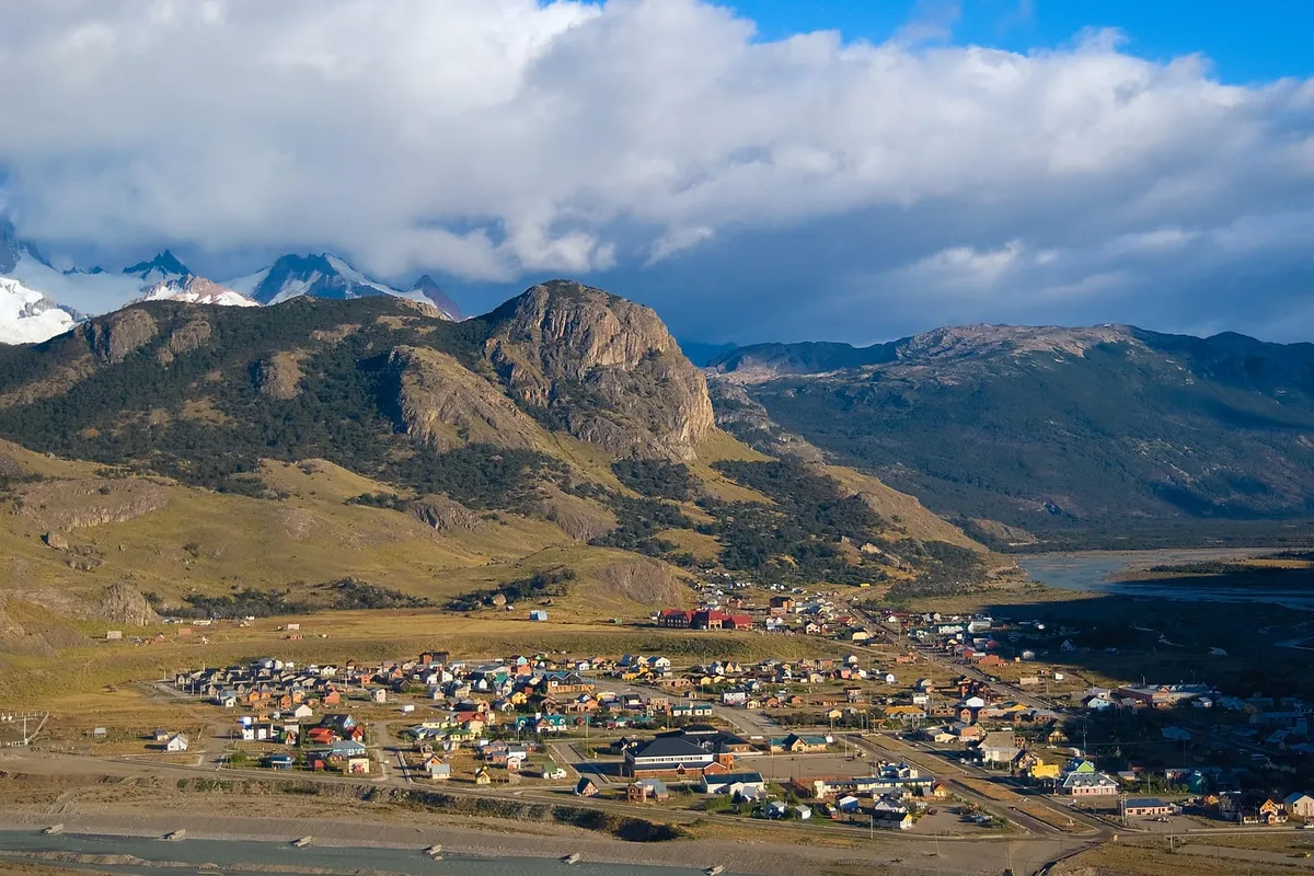
- Perito Moreno town (163 km): NOT to be confused with the glacier. 5,000-inhabitant town on Route 40.
- Marble Caves (Chile): across the border at Los Antiguos, 200 km on gravel.
- Mount Zeballos: 2,700 m peak near Los Antiguos, high-mountain trekking.
- Patagonia National Park (Argentina, in development): wildlife, trekking.
- Cañadón Pinturas Lodge: boutique accommodation inside the protected area.
How to Get to Cueva de las Manos
From Los Antiguos (recommended)
Closest town with varied lodging. From Los Antiguos, take Route 40 south (160 km to Bajo Caracoles, paved), then Provincial Route 97 west (16 km of gravel to the visitor portal, signposted). Total: 176 km, 3 hours. Passable in a regular car if dry. After heavy rain, may require 4x4 — check at the Los Antiguos tourist office.
From Perito Moreno (town, Santa Cruz)
From Perito Moreno town: 160 km south on Route 40 + RP 97 detour. Same access type as from Los Antiguos, with the last 16 km on gravel.
On an organized tour
Agencies in Los Antiguos and Perito Moreno town offer full days: Zoyen Turismo, Hielo Azul, Moebius Viajes. USD 85-130 per person. Includes 4x4 transfer, bilingual guide, park entry, lunch. Departure 8:00, return 19:00.
See also: Los Antiguos, Patagonian Route 40, El Chaltén, El Calafate.