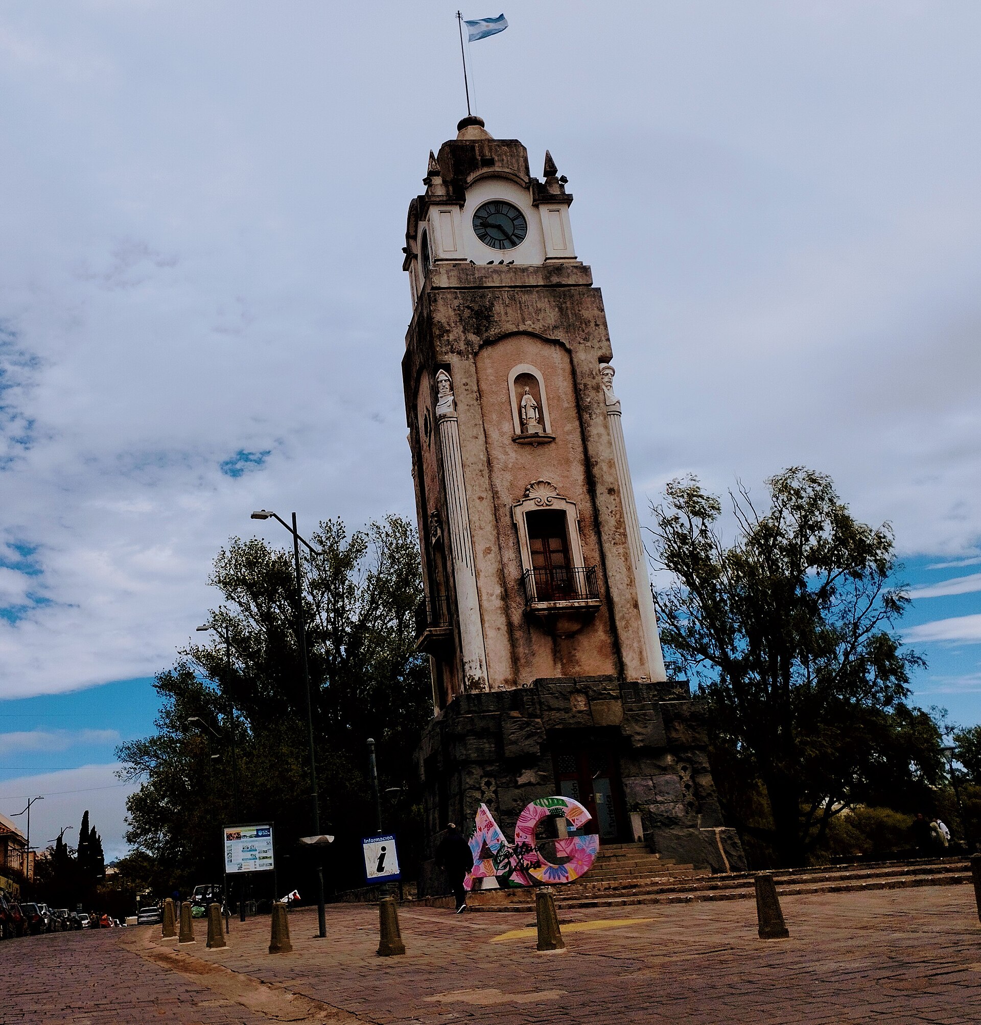
The Camino de las Altas Cumbres is a 100 km mountain road that connects the Punilla Valley (Villa Carlos Paz) with the Traslasierra Valley (Mina Clavero) across the Sierras Grandes of Cordoba, Argentina (lat -31.6500, lng -64.8500). Provincial Route 34 climbs from 600 m at Carlos Paz to the 2,100-meter Pampa de Achala, a high-altitude plateau where the landscape changes dramatically: sierra woodlands give way to highland grasslands, granite outcrops and immense skies where Andean condors glide right at road level. The highest point is the Altas Cumbres pass, where you can take in the entire Traslasierra Valley below. The road is fully paved and drivable year-round, although it has tight curves and steep grades that demand attentive driving. Along the way you can access Quebrada del Condorito National Park, one of the best places in Argentina to watch condors in their natural habitat. The stone tunnels carved through the mountain, the natural viewpoints and the high-altitude streams round out a driving experience that ranks among the most spectacular in Argentina and South America.
Getting there — distances & times
| From | Distance | Flight | Bus | Drive |
|---|---|---|---|---|
| New York (JFK) | 8500 km | 11 h via Buenos Aires | — | — |
| Miami (MIA) | 7100 km | 9 h via Buenos Aires | — | — |
| Madrid (MAD) | 10000 km | 13 h via Madrid + AR domestic | — | — |
| Buenos Aires (EZE) | 700 km | 1 h 15 | 10 h | 8 h |
| Mendoza | 670 km | 1 h 10 | 9 h | 7 h |
| Iguazu (IGR) | 1100 km | 1 h 30 | — | — |
Month-by-month climate
| Month | Temp. | Rain | Crowds | Note |
|---|---|---|---|---|
| Jan | 19° / 31°C | 120 mm | Summer, peak season | |
| Feb | 18° / 30°C | 105 mm | ||
| Mar | 16° / 28°C | 90 mm | ||
| Apr | 12° / 25°C | 50 mm | ||
| May | 8° / 21°C | 20 mm | ||
| Jun | 5° / 18°C | 12 mm | ||
| Jul | 4° / 18°C | 10 mm | Winter break | |
| Aug | 6° / 21°C | 12 mm | ||
| Sep | 9° / 23°C | 30 mm | ||
| Oct | 13° / 26°C | 70 mm | ||
| Nov | 15° / 28°C | 95 mm | ||
| Dec | 18° / 30°C | 125 mm |
How to Drive the Camino de las Altas Cumbres
The Camino de las Altas Cumbres (RP 34) connects Villa Carlos Paz with Mina Clavero. You can drive it in either direction.
From Villa Carlos Paz (East to West)
Take RP 34 from Carlos Paz heading west. The road begins climbing immediately with curves and grades. After 50 km you reach the Pampa de Achala (2,100 m). The next 50 km descend toward Mina Clavero. Total: 100 km, 2-2.5 hours without stops. With stops at viewpoints and Condorito: 3-4 hours.
From Mina Clavero (West to East)
Take RP 34 from Mina Clavero. The climb on the western side is gentler and more gradual than from the east. The advantage of this direction is that you get the morning sun lighting up the descent into the Punilla Valley head-on.
From Cordoba City
Cordoba to Carlos Paz (36 km, 40 min) to the Camino de las Altas Cumbres (100 km, 2.5 h) to Mina Clavero. Total: 170 km, 3 hours without stops.
By Bus
Cordoba-Mina Clavero buses run along the Camino de las Altas Cumbres but they do not stop at the viewpoints. To enjoy the stops, use your own car or an organized excursion.
What to See and Do on the Camino de las Altas Cumbres
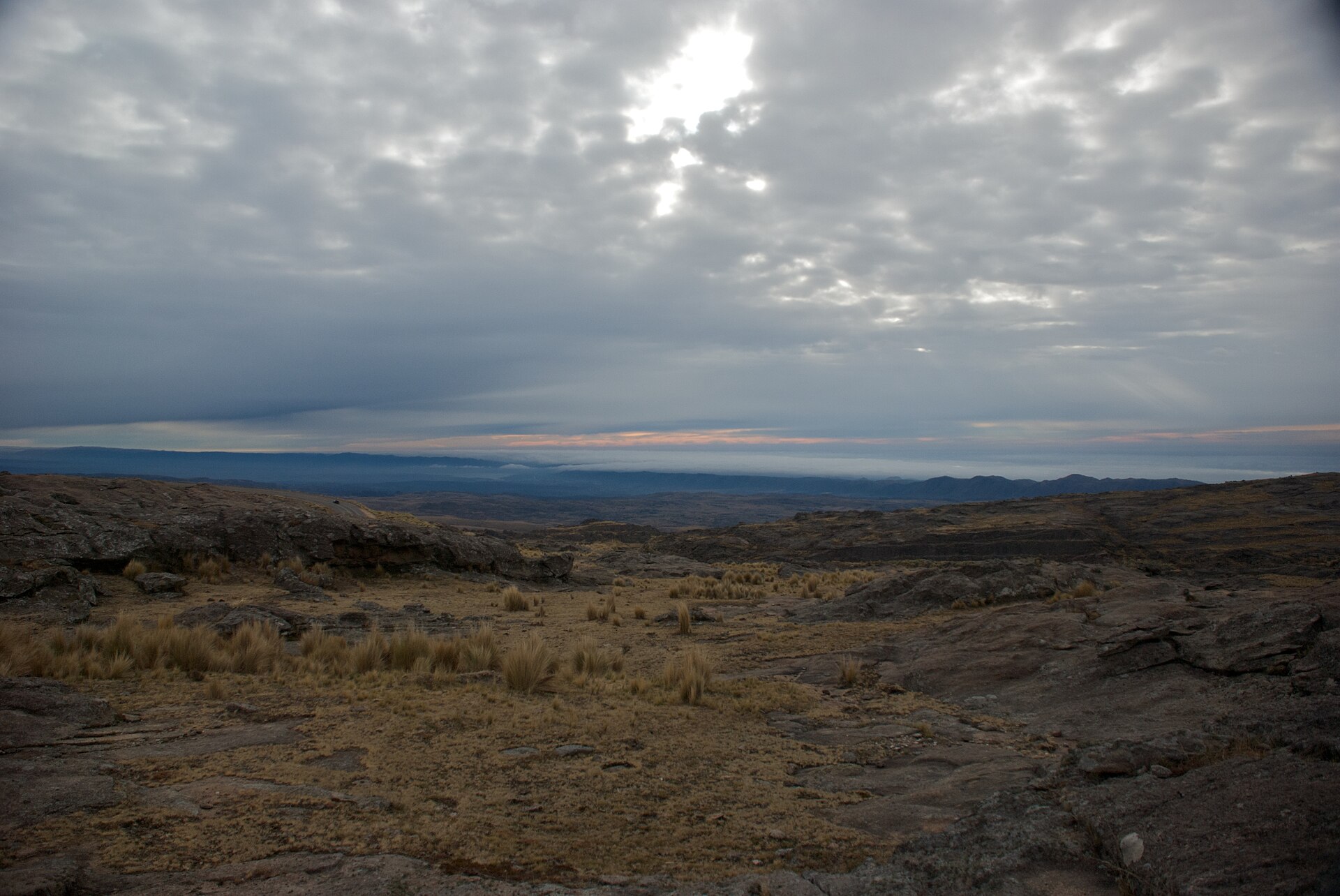
Pampa de Achala
The Pampa de Achala is a high plateau at 2,100 m that stretches across the heart of the Sierras Grandes. The landscape is dramatic: highland grasslands, enormous granite boulders, crystal-clear streams and a vast sky. The low vegetation and the altitude create the feeling of being on another planet. It is home to endemic species like the Achala lizard and unique plants. The road crosses the pampa for 20 km with multiple places to pull over.
Quebrada del Condorito National Park
At km 60 of RP 34, a turn-off leads to Quebrada del Condorito National Park, created in 1996 to protect the nesting habitat of the Andean condor. A 9 km trail (one way) leads to the Balcon Norte, a viewpoint over a 800-meter-deep canyon where the condors fly at eye level. It is one of the most jaw-dropping nature experiences in Argentina. The trail is moderate; allow 5-6 hours round trip. There is also a short trail (2 km) to an intermediate viewpoint.
Viewpoints and Tunnels
The road has numerous natural viewpoints with panoramic vistas of the sierras, the valleys and the pampas plain to the east. The stone tunnels carved through the mountain are an attraction in themselves: the longest tunnel is 100 meters and cuts through a rocky spur. There are at least three tunnels along the route. The west-side viewpoints, looking out over the Traslasierra Valley, are especially striking at sunset.
Condors
The Sierras Grandes are one of the last refuges of the Andean condor in central Argentina. Along the Camino de las Altas Cumbres you can commonly see condors gliding above the road, especially in the Pampa de Achala area and around Quebrada del Condorito. Their wingspan (up to 3 meters) and silent flight make for an extraordinary natural spectacle. The best time to spot them is the morning, when thermal currents lift them up.
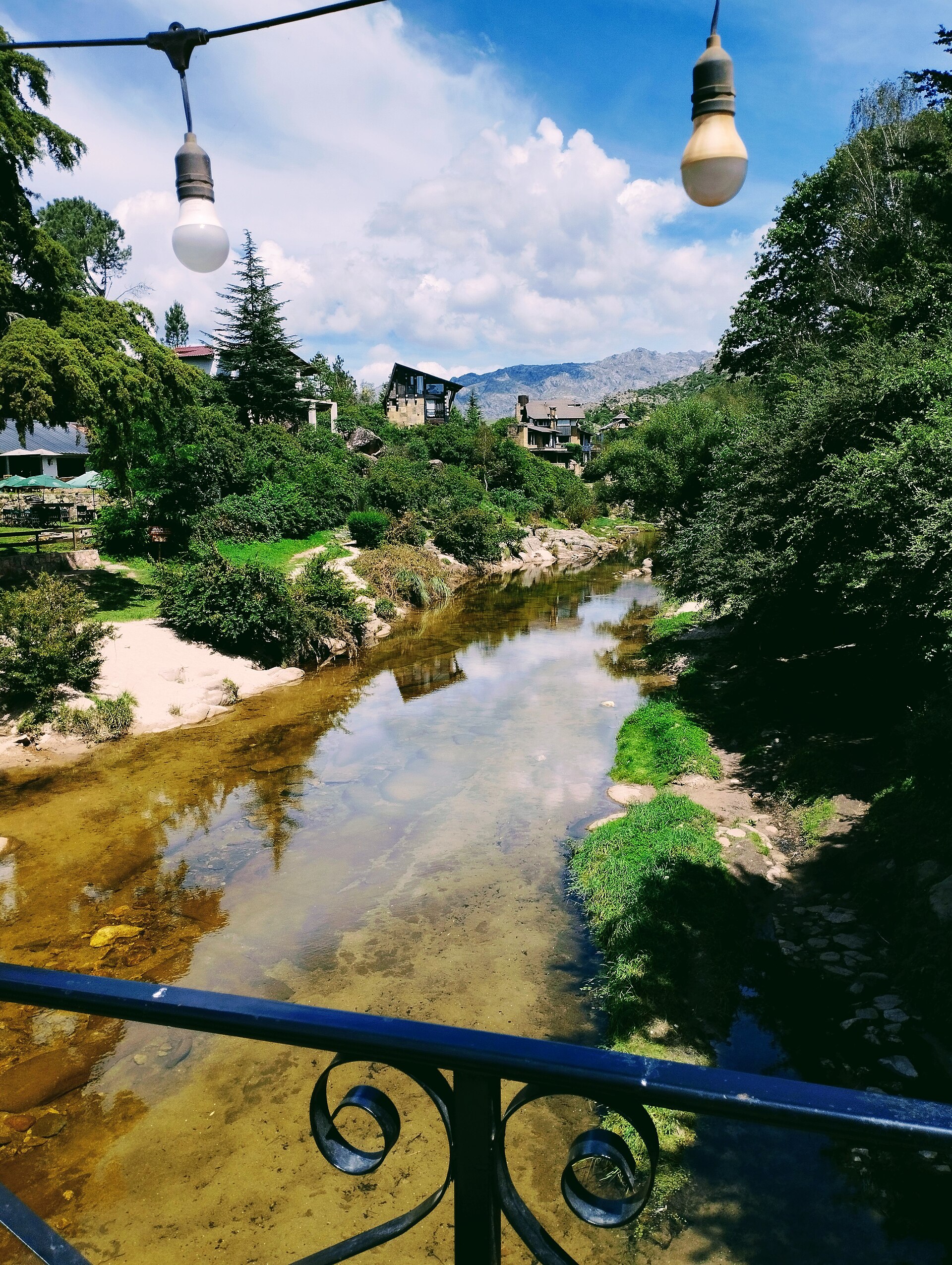
Highland Streams and Waterfalls
Crystal-clear streams begin in the Pampa de Achala and form small waterfalls and natural pools among the granite boulders. They are perfect spots for a rest stop, dipping your feet (the water is very cold) and taking photos. The most accessible streams are signposted from the road.
When to Drive the Camino de las Altas Cumbres
- Autumn (March-May): The best season. Clear skies, excellent visibility, moderate high-altitude temperatures (5-18 degC). Autumn colors in the low vegetation.
- Winter (June-August): Possible ice on the road at dawn. Sunny but cold days on the Pampa de Achala (lows below 0 degC). Occasional snow. Dramatic winter landscape.
- Spring (September-November): Pleasant weather, nature greening up again. Good months for the Condorito trek. Active condors.
- Summer (December-February): Frequent afternoon thunderstorms. Fog at the summit can sharply reduce visibility. Mild heat at altitude. Drive in the early morning.
Practical Information
Road Conditions
RP 34 is fully paved and in good condition. It has tight curves and steep grades (10-12%). Drive carefully and do not exceed 60 km/h on the curves. Rain and fog can drastically reduce visibility. In winter there can be ice at dawn. No 4x4 required.
Fuel and Services
There are no gas stations between Carlos Paz and Mina Clavero (100 km). Fill up before leaving. There are no restaurants or services along the route except for the occasional regional food stand. Bring water and warm clothing (there can be a 15 degC difference between the valley and the summit).
Quebrada del Condorito National Park
Free admission. Visitor center at km 60 (not always open). Trail to Balcon Norte: 9 km one way, 5-6 hours total. Short trail: 2 km, 1 hour. Bring water (2 liters minimum), sun protection, warm clothing and trekking shoes. Check in with the rangers before starting the long trail.
Budget
Driving the road is free (no toll). Round-trip fuel from Cordoba: USD 15-25. Organized excursion from Carlos Paz or Cordoba: USD 45-55. Condorito park: free admission.