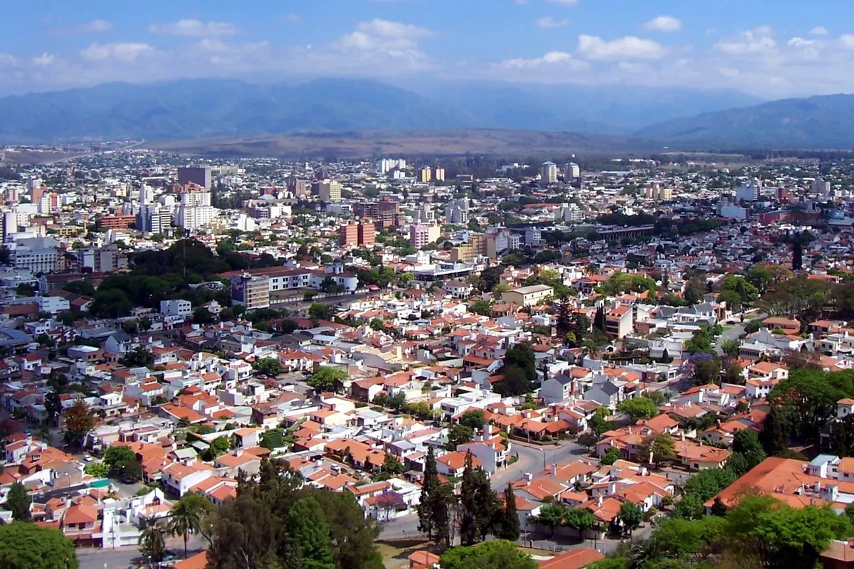
The Quebrada de Humahuaca is a 155-kilometre Andean valley in Jujuy province (Northwest Argentina, NOA), UNESCO World Heritage Site since 2003 in the "Cultural Landscape" category — one of the few quebradas (mountain valleys) in the world with this distinction. Carved by the Río Grande between the Sierra de Aguilar and the Sierra de Tilcara-Zenta, the quebrada is travelled from San Salvador de Jujuy in the south to La Quiaca in the north (Bolivia border), passing through eight characteristic villages of pre-Incan Andean culture (Volcán, Tumbaya, Purmamarca, Maimará, Tilcara, Uquía, Humahuaca and Iruya as a side branch). It is famous for its multi-coloured hills — the Cerro de los 7 Colores in Purmamarca is the global icon, but the Hornocal 14 Colours near Humahuaca is even more impressive (panoramic from a 4,350 m lookout). It is also a place of 10,000 years of continuous human occupation, documented archaeologically from paleo-Indian hunters to current Kolla communities that maintain Quechua-Aymara traditions, language and pre-Columbian practices alive — including the Humahuaca Carnival (February) declared UNESCO Intangible Heritage with its misachicos, comparsas and diablitos. The quebrada was part of the historic Qhapaq Ñan — the 30,000-km Inca road network connecting Cusco with the southern empire — being a cultural and commercial axis between the Altiplano and the lower NOA valleys for 600 pre-conquest years. Today it is one of the highest-traffic tourist destinations in the Argentine NOA, with bases in Tilcara (2,500 m, the most authentic) or Purmamarca (more comfortable, hotel infrastructure). A complete visit takes 3-4 days, with the option to extend to Iruya (extra 2 days) and combine with Cafayate (a complete 8-10 day NOA trip). In this guide we explain what the Quebrada de Humahuaca is, why it\'s UNESCO Heritage, the must-see villages and hills, recommended itineraries, how to get there, the best season, and practical safety tips.
Why is it UNESCO Heritage?
The 2003 UNESCO declaration as a "Cultural Landscape" (rare category combining outstanding natural and cultural value) was based on three pillars:
1. Historic Inca Road (Qhapaq Ñan)
The Quebrada de Humahuaca was a strategic segment of the Qhapaq Ñan — the 30,000-kilometre Inca road network that connected Cusco (the empire\'s capital, in present-day Peru) with the southern provinces (Collasuyu, including northern Argentina and Chile). For approximately 600 years (between the Tiwanaku Empire in the 9th-12th centuries and the Inka Empire in the 15th century, until the Spanish conquest in 1535), the quebrada was a critical commercial-cultural axis: north-south transit of llamas with cargo, communication of "chasquis" (imperial messengers), and political-religious control of the southern valleys. Many of the current trails follow the original Inca road. The Qhapaq Ñan was UNESCO Heritage as a separate transnational property in 2014.
2. 10,000 Years of Continuous Occupation
The archaeological evidence of human occupation in the Quebrada is exceptional: tools and rock paintings from 10,000 years ago (paleo-Indian hunter-gatherers), agro-ceramic cultures (Omaguaca, Atacameño, Chicha) between 2000 BCE and 1500 CE, the spectacular Pucará de Tilcara (pre-Incan fortress excavated and restored, the most visited archaeological site in the NOA), and the Humahuaca-Inka phase (1480-1535). The current population — Kolla communities of Quechua-Aymara descent — maintains oral and cultural traditions of 1,500+ years: Carnival, the Pachamama (Mother Earth) cult on August 1st, vertical agriculture in andenes (terraces), traditional weaving with llama and vicuña wool. This continuous cultural lineage is rare in the world.
3. Endangered Architecture and Cultural Identity
The Quebrada villages (Purmamarca, Tilcara, Humahuaca, Uquía, Maimará) preserve adobe-stone architecture on pre-Hispanic foundations with traditional construction techniques (clay walls, cardón roofs, doors and windows of carob wood) endangered by industrial expansion. UNESCO protection guarantees safeguarding of the urban heritage and traditional construction techniques.
The 7 Must-See Villages
- Purmamarca (km 65) — at the foot of the iconic Cerro 7 Colours. Craft fair on the plaza. Best hotel base for first-time visitors. ~2,000 inhabitants.
- Maimará (km 75) — Painter\'s Palette (striated coloured hill), historic cemetery on the slope.
- Tilcara (km 84, 2,500 m) — Pucará pre-Incan archaeological site, Garganta del Diablo, the best gastronomic offer of the Quebrada, classic backpacker destination. ~6,000 inhabitants.
- Huacalera (km 110) — the Tropic of Capricorn crosses the village (sundial monument), cemetery with a "vertical Christ" sculpture.
- Uquía (km 117) — colonial church (1691) with the world\'s only collection of "arquebus-bearing angels" (angels portrayed with European arquebuses, Cusco school painting).
- Humahuaca (km 130, 2,939 m) — capital of the Quebrada, lookout of Cerro 14 Colours nearby (Hornocal). Independence Heroes Monument. ~11,000 inhabitants.
- Iruya (50 km east of Humahuaca, 2,780 m) — isolated village among the hills, requires high 4x4 to access. Among the most authentic and least touristified villages of the NOA.
Recommended 4-Day Itinerary
- Day 1 (Salta/Jujuy → Purmamarca): morning drive 130 km from Salta or 65 km from Jujuy. Afternoon: Cerro 7 Colours, Paseo de los Colorados, plaza craft fair. Sunset photos. Night in Purmamarca (Manantial del Silencio, El Manantial, Hostal Posada Purmamarca).
- Day 2 (Purmamarca → Salinas Grandes → Tilcara): ascent of Cuesta del Lipán to 4,170 m (panoramic photos with condors). Salinas Grandes 212 km² salt flats. Return via Cuesta to Tilcara for the night.
- Day 3 (Tilcara → Humahuaca): morning at Pucará de Tilcara + Archaeological Museum. Afternoon to Maimará (Painter\'s Palette) and Uquía (Arquebus-bearing Angels). Night in Humahuaca.
- Day 4 (Humahuaca → Hornocal → return): ascent to Hornocal 14 Colours lookout (4,350 m, the climax of the trip). Afternoon return to Salta or Jujuy.
Optional extension Iruya (2 extra days from day 4): instead of returning, drive 50 km east to Iruya (only high 4x4 or local tour), 2 nights in the village. Add cost: USD 200-400 per person.
Practical Tips for Travel
- Acclimatise to altitude: don\'t go directly from Buenos Aires (sea level) to Hornocal (4,350 m). Sleep 1 night in Salta or Jujuy capital (1,200 m), then in Tilcara (2,500 m), and only then go to Salinas/Hornocal (4,000+ m).
- Sunscreen SPF 50+: UV is 8x stronger than at sea level. Sunburn is fast and severe.
- Layered clothing: 25-30°C day-night thermal range. Cap, fleece, windproof jacket, gloves at altitude.
- Water and coca leaves: hydration prevents altitude sickness. Coca leaf tea or chewable leaves are sold in any pharmacy or market — local cultural use, legal in Argentina.
- Cash: small villages don\'t always accept cards. Bring USD or pesos.
- Local language: Spanish is universal, but you\'ll hear Quechua-Aymara among elders and in markets — take the opportunity to learn a few words ("hi" = "kausay", "thank you" = "yusulpaiki").
Discover the Quebrada
Quebrada Day Tour from Salta
Full day Salta → Purmamarca → Salinas Grandes → Tilcara → Humahuaca → Hornocal. Bilingual guide. USD 95-140.
Manantial del Silencio (Purmamarca 5★)
Iconic boutique hotel at the foot of Cerro 7 Colours. Wellness, regional cuisine.
Iruya 4x4 Excursion
Day trip from Humahuaca to Iruya (the most isolated village). Only high 4x4. Spectacular landscape.